

There’s a certain romance about purposely taking the slow route; reading the book rather than watching the movie, taking the train rather than flying, walking instead of driving the car. Not only do you get an entirely different perspective, that perspective gives you insights that never would have been possible had you taken the easier route. And nowhere could this be truer than in Japan.
In all honesty, I wasn’t too surprised to find out Japan is covered in highways. And I don’t mean those modern monstrosities that epitomise the word concrete. I mean Japan’s forgotten highways; highways of a time long gone, when all people had to get around on was their own two feet, when they were all but forced to take the slow route.
Ok, sure, Japan is an ancient country. It’s not too much of a stretch for an ancient country to have ancient highways. But the way these highways came about is truly something. And it involves an odd connection to Osaka, Shinjuku and the Shinkansen, and the mountains of Yamagata.
It all Started with Osaka Castle
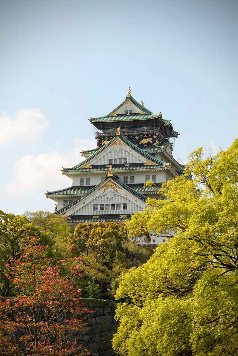
Way back in the 16th century, samurai and Daimyo (feudal lord) Toyotomi Hideyoshi, one of the great unifiers of Japan, made a law where the wives and heirs of his Daimyo were forced to reside in or around Osaka Castle. His motivation for keeping hostages in this way was simple: maintain his Daimyo’s loyalty.
And it worked.
It worked so well, in fact, the custom passed on to the Shogun in the following centuries, right up to the collapse of the Tokugawa Shogunate in 1868.
Medieval Micromanaging
If you think your boss is a micromanager, try this on for size. During the Edo period (1603–1868), alongside the hostage situation, the Shogunate established the Sankin Kotai system of governance. In the Sankin Kotai system, Daimyo had to spend alternating years in their own fiefs, and in the de facto capital at the time, Edo, the city we know these days as Tokyo.
To make matters worse, the Shogun took a leaf straight out of Toyotomi Hideyoshi’s book. Yet, rather than keeping the wives and heirs in Osaka Castle, they opted to keep them in Edo instead. As if the Daimyo hadn’t already faced their fair share of the Shogun’s wrath.
All Heirs
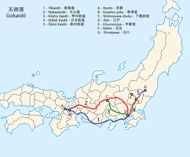
On the surface, only getting to see your loved ones a year at a time sounds like the stuff of nightmares. But don’t worry, it wasn’t that bad. Before long, the Shogun established a series of routes linking Edo with the Daimyo’s fiefs called Gokaido, The Edo Five Routes. Put simply, these routes made it much easier for the Daimyo to not only communicate with the capital, but also importantly to be with their beloved Shogu… wives. Their beloved wives.
The Edo Five Routes
In a process that linked multiple 1,000-year-old trails to Nihonbashi, central Edo, five routes were selected to become the official Edo Five Routes; Tokaido, Nakasendo, Koshu Kaido, Nikko Kaido, and Oshu Kaido.
This is where the Shogun took micromanaging to a whole other level, but in a good way. Strict rules dictated not only the width of the roads, but where to place trees to keep those walking the routes cool as well.
In addition, post towns called Shukuba situated between 7 and 10km apart provided accommodation and meals along the routes, and there were even regulations for the number of horses permanently stationed at each.
Rules and regulations on The Edo Five Routes

Anyone could make use of the routes, however, only certain people were able to pass through the multiple sekisho checkpoints. Those able to pass through included the Daimyo of course, some merchants and craftsmen, and the servants to the Daimyo, AKA samurai.
Another notable exception was those on spiritual journeys. If you were making a pilgrimage to one of the sacred areas of Japan, for example the Kumano Kodo, Dewa Sanzan, or even places like Fuji-san, then you too were able to pass through. Pilgrims wore white Gyoi jackets that acted as a passport of sorts, and were therefore highly valued. These Gyoi jackets became the basis for Goshuin stamp books found in temples and shrines around Japan.
How the Tokaido Shinkansen got its Name
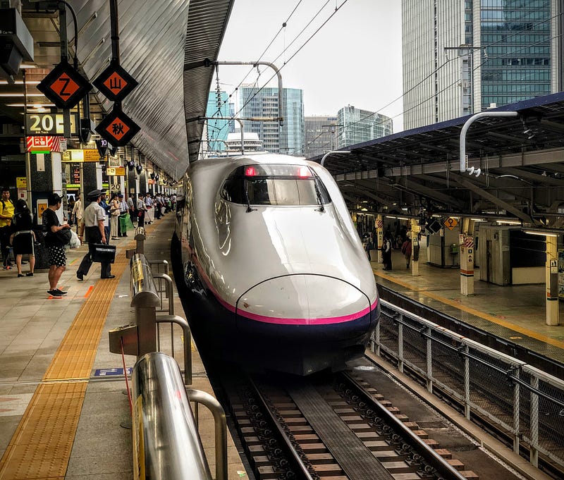
Avid train fans and non-fans alike may recognise the word Tokaido, as yes, this route is the namesake for Japan’s first bullet train, The Tokaido Shinkansen.
Two of The Edo Five Routes linked Edo and Kyoto; Tokaido, and Nakasendo. Tokaido means east sea route, as this route went along the pacific coast, south of Fuji-san.
The Nakasendo, ‘central mountain route’, on the other hand, went through the mountains of Honshu to the northwest of Edo and all the way to Kyoto.
How Shinjuku got its Name
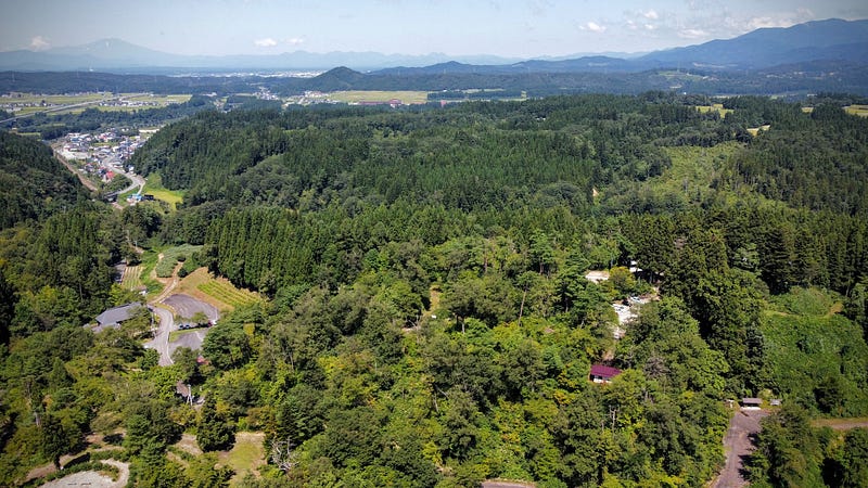
The Shinkansen connection doesn’t stop there. The Koshu Kaido leading to Kai Province in present-day Yamanashi Prefecture played a pivotal role in both the establishment of Shinjuku City, and the world’s busiest railway station, Shinjuku Station. One of the Koshu Kaido’s first Shukuba post towns was the ‘newly built (Shin) post town (juku)’ of Shinjuku. (Incidentally, Harajuku was named after the Kamakura-do, part of the unofficial Edo Five Routes)
The Nikko Kaido
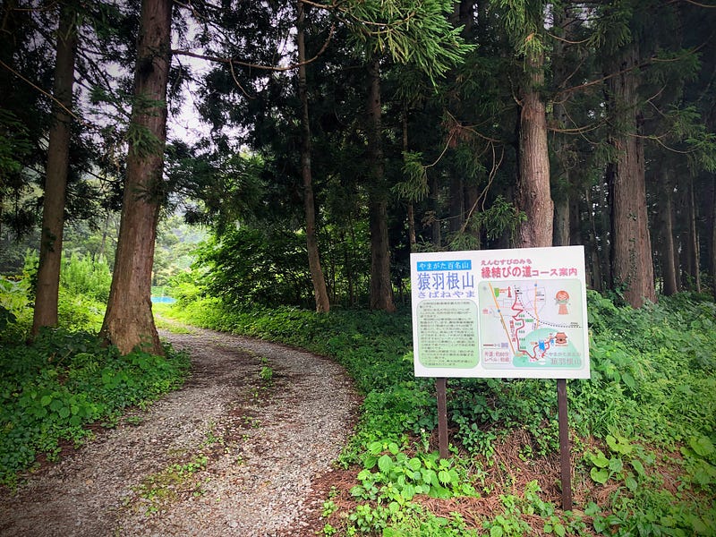
The Nikko Kaido connected Edo with Nikko Toshogu in present-day Tochigi Prefecture, a shrine dedicated to Tokugawa Ieyasu, founder of the Tokugawa Shogunate. Along this route, in memory of Tokugawa Ieyasu, one samurai lord, Matsudaira Masatsuna, took the task of planting trees to heart. In the process, he ended up planting the longest tree-lined avenue in the world, the cedar avenue of Nikko.
The Oshu Kaido
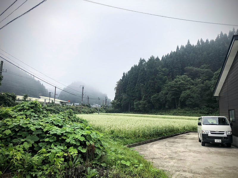
Lastly, I touched on it when introducing the pyramids of Japan, but the route north of Edo connecting to Mutsu, current-day Fukushima Prefecture, was known as the Oshu Kaido.
Besides the Sendaido that led to, you guessed it, Sendai, the Oshu Kaido had two subroutes; the Ushu Kaido that went through Yamagata and Akita Prefectures, and the Matsumae Kaido that went through Miyagi and Iwate Prefectures.
Both routes led to modern-day Aomori Prefecture, with the Matsumae Kaido going all the way up to Hakodate, Hokkaido. This made the Oshu Kaido the longest of the Edo Five Routes.
Roads and Rails: Hiking the Forgotten Highways of Japan
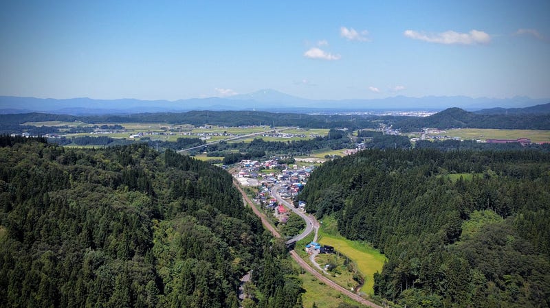
These days, it seems the majority of the Edo Five Routes are covered in either roads or rails. Although there are still walkable sections of the Nakasendo in its original form, I wondered whether there were any intact trails closer to home.
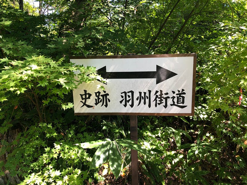
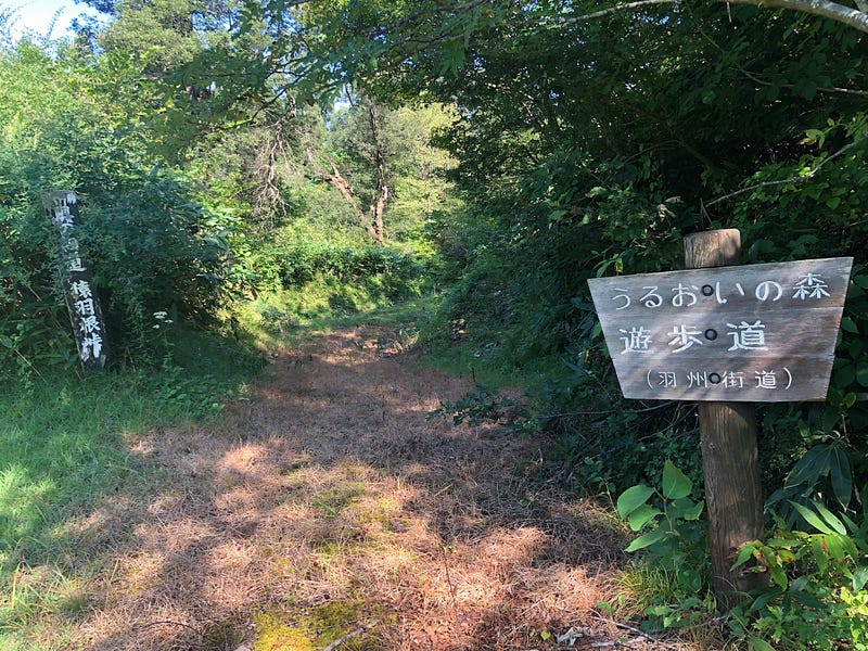
It turns out the prefecture I live in, Yamagata, had two main roads that were part of the Ushu Kaido; Route 7 and Route 13. Although these are now both roads, there was one section maintaining the former trail as is.
Route 13 is home to a mountain that was historically one of the most difficult passes of the Ushu Kaido, Sabane-yama. Not only that, Sabane-yama also happened to be one of the 100 Famous Mountains of Yamagata.
So, I decided to hike it, as a good yamabushi should.
The Forgotten Highway of Japan: Sabane-yama
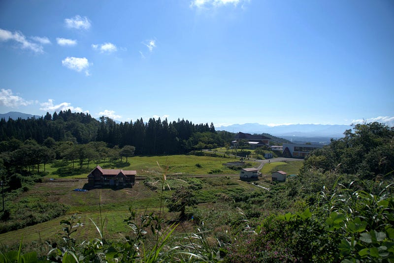
Sabane-yama is not exactly what we would call a tough mountain to climb. In fact, since it is only 160 m (525 ft.) above sea level, we wouldn’t even call it a mountain in English (300 m or 1,000 ft. is the cut-off).
For us, it only takes a matter of seconds to get through Sabane-yama thanks to the invention of cars and the Funagata and Sabaneyama Tunnels.
Yet for the likes of Haiku poet Matsuo Basho, author Isabella Bird, local samurai Kiyokawa Hachiro, and countless Daimyo, Sabane-yama was one of the toughest parts of the journey between Edo and the northern Tohoku region.