Tokami-yama and The Castle of Mist
とがみやま
富神山
TOKAMI-YAMA (TOGAMI-YAMA)
And its role in north Japan's fiercest war
1600.
5th year of the Keicho Era.
The definitive battle of feudal Japan takes place; The Battle of Sekigahara. The Western Army, a coalition of Toyotomi clan loyalists led by Ishida Mitsunari face off against The Eastern Army forces loyal to Tokugawa Ieyasu.
Cool.
But what does this have to do with a castle in rural Yamagata?
Well, Sekigahara wasn’t the only big battle in 1600 between Tokugawa and Toyotomi loyalists.
There was another Sekigahara. A proxy Sekigahara that came to be known as ‘The Sekigahara of the North’.
The Keicho Dewa Kassen.
Named after the time period and location, Dewa being the modern-day Yamagata and the majority of Akita prefectures, the Keicho Dewa Kassen took place in current-day Yamagata City.
So what happened?

Loyal to the Western Army, The Uesugi clan of the Yonezawa Domain, led by Uesugi Kagekatsu and their ambitious general Naoe Kanetsugu, were on the final stretch of a five-month campaign to take over North Japan. Their next and final target was Yamagata Castle at the time ruled by Lord Mogami Yoshiaki, who, along with his nephew Date Masamune supported the Eastern army and Tokugawa Ieyasu.
(For more on this battle, see The Siege of Hasedo that happened on nearby Shiro-yama)

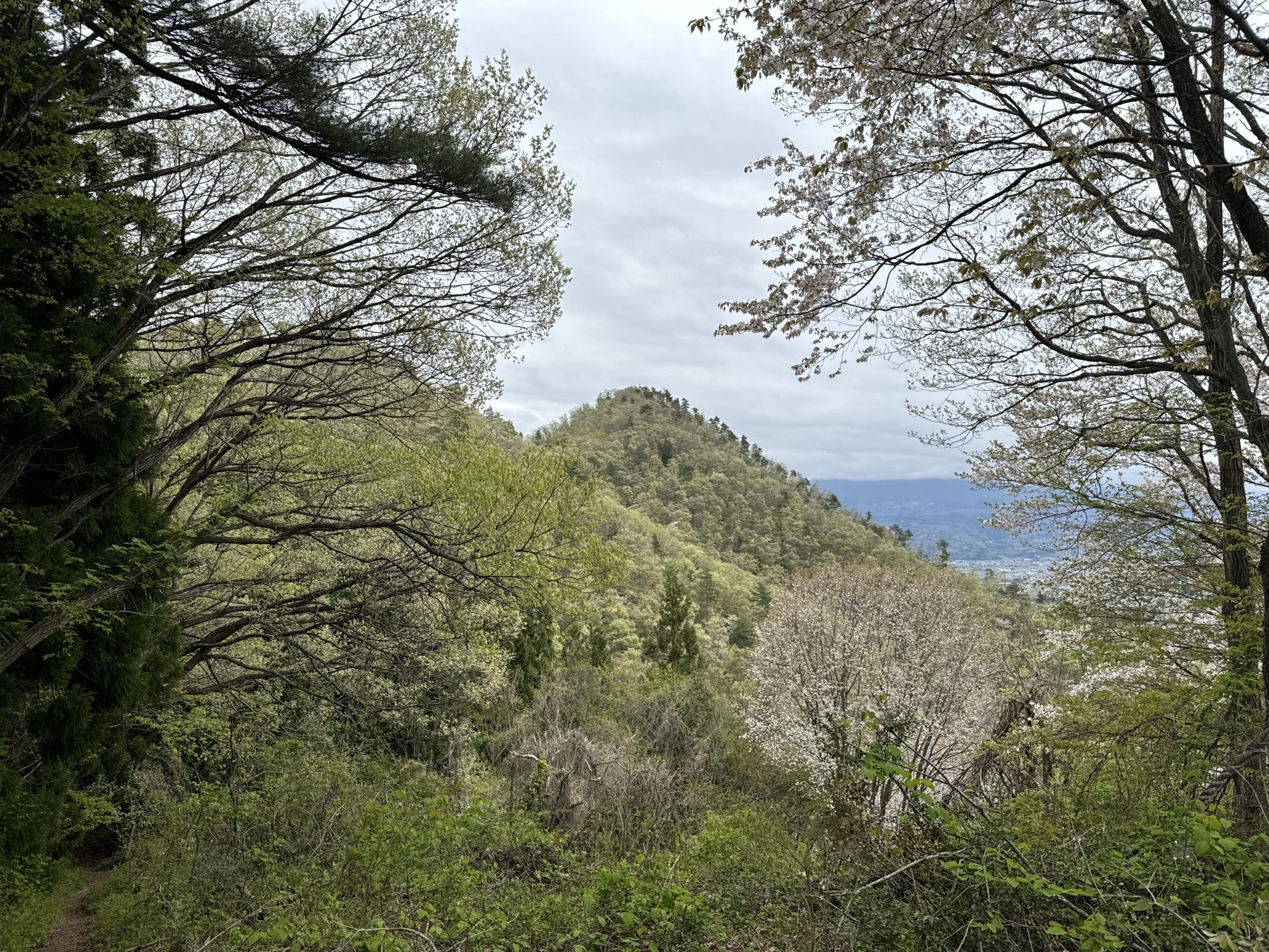
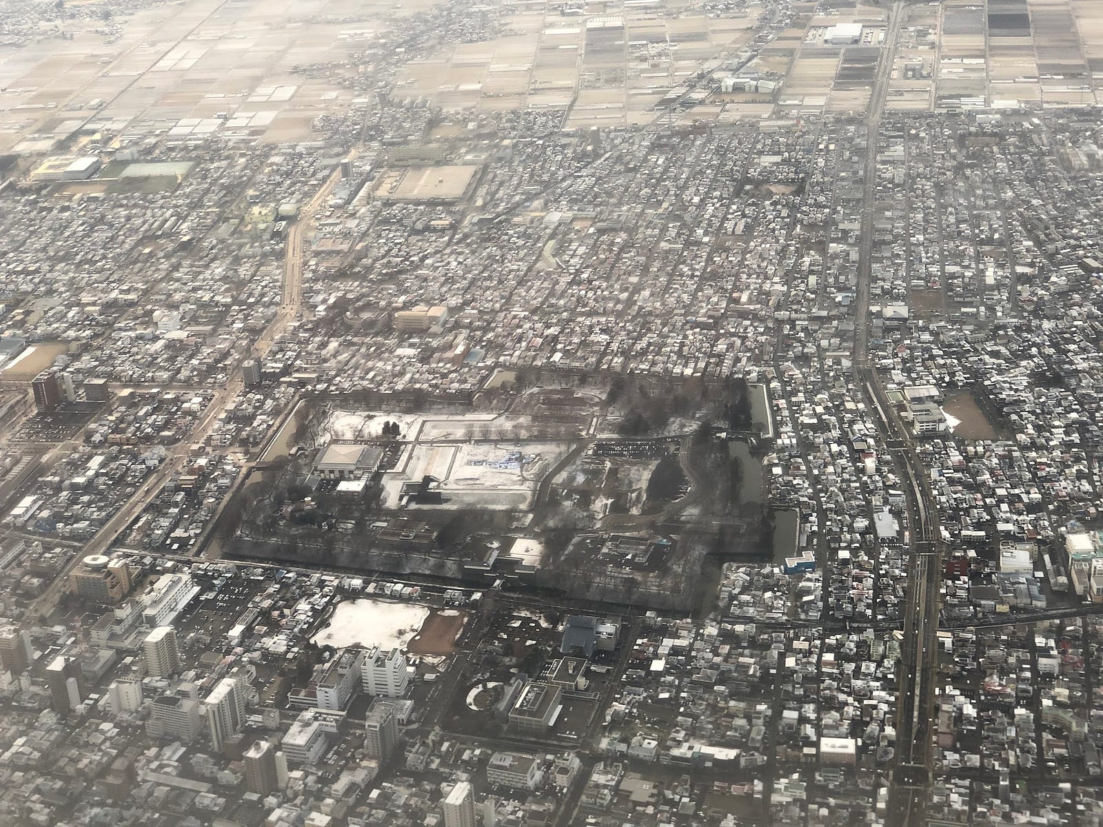
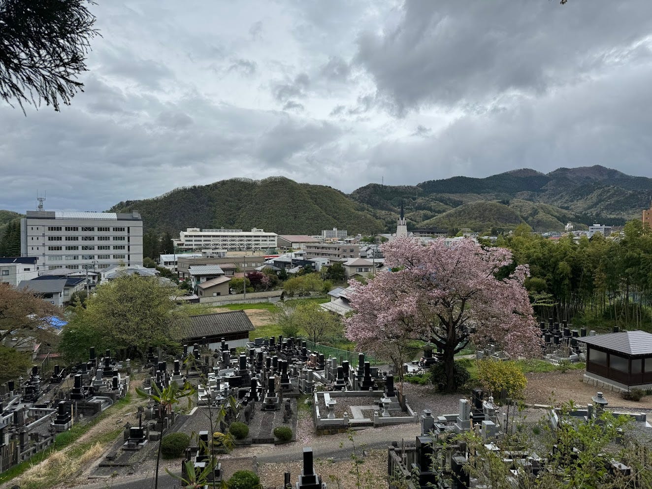
The Uesugi clan had made it all the way to Tokami-yama, a mountain on the outskirts of Yamagata City. Tokami-yama provided unbeatable views over the Zao Renpo, the Yamagata Basin, and of course, Yamagata Castle, making it an excellent vantage point for Naoe and his men.
Normally, at least.

From there, Naoe was hoping he would be able to watch movements in Yamagata Castle in order to gain the upper hand during the battle.
Only, much like the original Kamikaze ‘Divine Wind’ that saved Japan from the Mongols in the 13th century, the Kami got in the way. Only this time it wasn’t wind.
It was mist.
Put simply, Naoe couldn’t see a thing! The citadel was completely shrouded in a thick fog. Not only that, the fog wouldn’t relent, even after a whole ten days.
To make matters worse for Naoe, within that ten-day period word arrived that the western forces of Ishida Mitsunari had fallen at The Battle of Sekigahara. The Uesugi Army were to fall back to the Yonezawa Domain, and all that waiting was in vain.
For Naoe, at least.
For us, if local legend is anything to go by, this series of uneventful events led to Yamagata Castle being named Kasumi-ga-Jo, ‘The Castle of Mist’. It also led to Tokami-yama, being named, well, Tokami-yama.
Tokami-yama?

Toka means ten days in Japanese. Mi means to watch. Together, Tokami means ‘searching for ten days’. Yamagata locals, and now you too, like to voice sounds; Tokami becomes Togami.
Tokami-yama. Mt. Tokami.
If local legend is anything to go by.
Locals actually believe this. I say let them have their fun.
It turns out Tokami-yama isn’t immune to controversy, or fact, as some of us like to call it. In fact, there is evidence Tokami-yama was Tokami-yama well before any samurai had any say in the matter.
According to Nihon Sandai Jitsu Roku, an officially commissioned Japanese history text from 901, yes, 700 years before Sekigahara, on the register of Kami there is a Kami called Tokami, which points to this very mountain.
Not only that,
much like Murayama Hayama, there seem to be more than a few mountains called Tokami-yama all over Japan, with peaks appearing in Miyagi, Aichi, Shimane, and Oita.
Not only that,
they all appear to be beautiful pyramid-shaped mountains venerated as divine with shrines at both the summit and base, just like our favourite Tokami-yama.
Either way, although the story behind the name Tokami-yama is probably made up, the story of Mist Castle is cool, and Tokami-yama is also a very fun place to explore, especially if you know about the Siege of Hasedo.
Climbing Tokami-yama
Tokami-yama lies in the south west of Yamagata city. It is an almost perfect triangle, so is hard to miss. From the summit you can see the Zao Renpo and Yamagata city, a wonderful view that has attracted many hikers from all around.
Oh, and warlords looking to one-up their enemies.

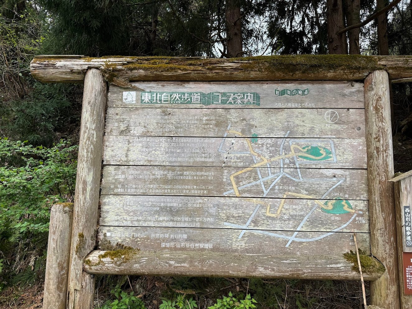
Shindo Trail (40 minutes one-way)

This trail starts at the Shindo Trailhead on the western side of Tokami-yama. Since the trailhead itself is at a high elevation, the trail to the summit isn’t that steep overall.
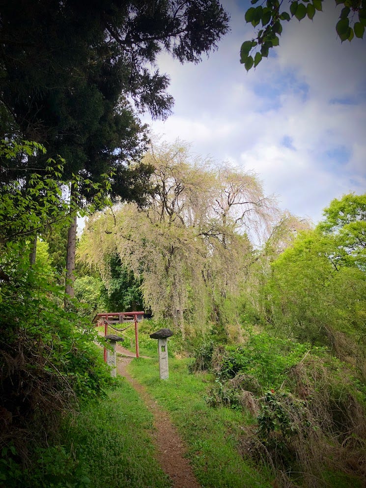
The trail is well maintained, and even kindergarteners were climbing it when I went. Along the way, there are junctions to a few paths from where you can see the dry moat of a castle from the Sengoku Period. Each of the three trails connect to the summit, so you can mix and match things if you so desire.
Sanno Trail (40 minutes one-way)
The Sanno Trailhead lies to the north of Tokami-yama. The trail goes straight to the summit and is extremely steep. This makes the trail very slippery on rainy days, and you need to be extra careful when coming down. Since the trailhead is right alongside a prefectural road, there is no carpark.
The Kashiwakura Trail (45 minutes one-way)
The Kashiwakura Trailhead lies directly to the south of Tokami-yama. The trail kicks off with a walk through a pine forest. You will get views of the hamlets below as you climb before reaching steep parts requiring chains to climb up. Since this trail faces the south, it is quite pleasant indeed. Much like the Sanno Trail, The Kashiwakura Trail is steep, so you have to be careful of slipping on wet days. There is enough space for 3 or 4 cars to park at the trailhead.
Nearby Locations Worth Checking Out
How this castle survived the greatest threat in feudal Japan
About 20 minutes’ drive south of Tokami-yama lies Shiro-yama ‘Castle Mountain’, a core location in one of Japan’s fiercest battles, The Siege of Hasedo.
Chitose-yama: Home to the Legend of Princess Akoya
Chitose-yama ‘Forever Mountain’ on the other side of Yamagata City, a mountain with an incredible legend.
The Asahi Renpo (Asahi Alps)
The mountains on the Asahi Renpo also on the 100 Famous Mountains of Yamagata are (from north to south) Shojiga-take, Ito-dake, Tengusumotori-yama, Torihara-yama, Koasahi-dake, Osasahi-dake, and Okitama Ha-yama.
TOKAMI-YAMA (TOGAMI-YAMA)
富神山 | とがみやま
Mt. Tokami-yama, Mt. Tokami, Mt. Togami-yama, Togamiyama, Tokamiyama
Tokami-yama (富神山とがみやま(とかみやま)) is a 402m (1318 ft.) peak in the Murayama region of Yamagata prefecture open year-round. Tokami-yama is a level 1 in terms of physical demand, which means it is easy to hike, has a A technical grade, which means it requires little expertise, and you want to allow at least 40 minutes one-way for a hike.
Mountain Range
Tokami-yama
Region
Murayama
Elevation
402m (1318 ft.)
Technical Demand
A (requires little expertise)
Physical Demand
1 (easy to hike)
Trails
Three: 1) Shindo Trail (40 minutes one-way), 2) Sanno Trail (40 minutes one-way), 3) The Kashiwakura Trail (45 minutes one-way)
Best time to climb
Year-round
Day trip possible?
Yes
Minimum Time Required
At least 40 minutes one-way on the Shindo or Sanno Trails
PDF Maps by TheHokkaidoCartographer and JapanWilds.org. See all here.


YAMABUSHI NEWSLETTER
KIWI YAMABUSHI

TIM BUNTING - KIWI YAMABUSHI