KITA-YAMA
Former ski field turned into a Sakura-lover’s paradise on the outskirts of Murayama City
Jump to My Guide to Hiking Kita-yama
On the surface it may be hard to believe, but the tiny 188m-high (616. ft.) Kita-yama on the outskirts of Murayama City is indeed one of the 100 Famous Mountains of Yamagata. The five different kinds of Sakura, and Nikkokisuge flowers alone couldn’t possibly be enough to make the list, could it? Not only that, the shortest route to the summit takes a mere 8 minutes. 8 minutes! It’s so short I was able to film my whole stroll there for you (which you can see in the above link).
How could Kita-yama make the 100 Famous Mountains of Yamagata list?
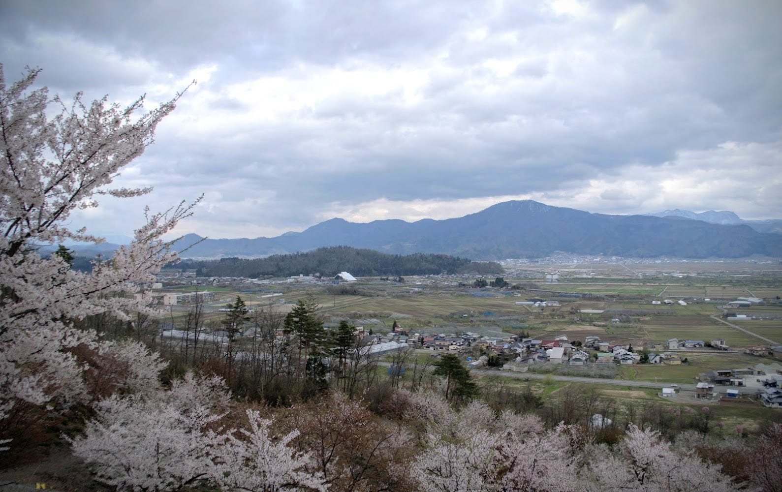
So, how could such a small peak make it on a list of 100 Famous Mountains? The answer lies, of course, with the criteria for the 100 Famous Mountains of Yamagata. If you’d read my page about this project, you would know that the mountains were first chosen according to the following criteria:
- Number of visitors to the mountains, starting with locals
- Mountains that have played a huge role in the lives of locals
- Mountains with great views or other special appeal that makes you want to share the place with others
How did Kita-yama come to be?
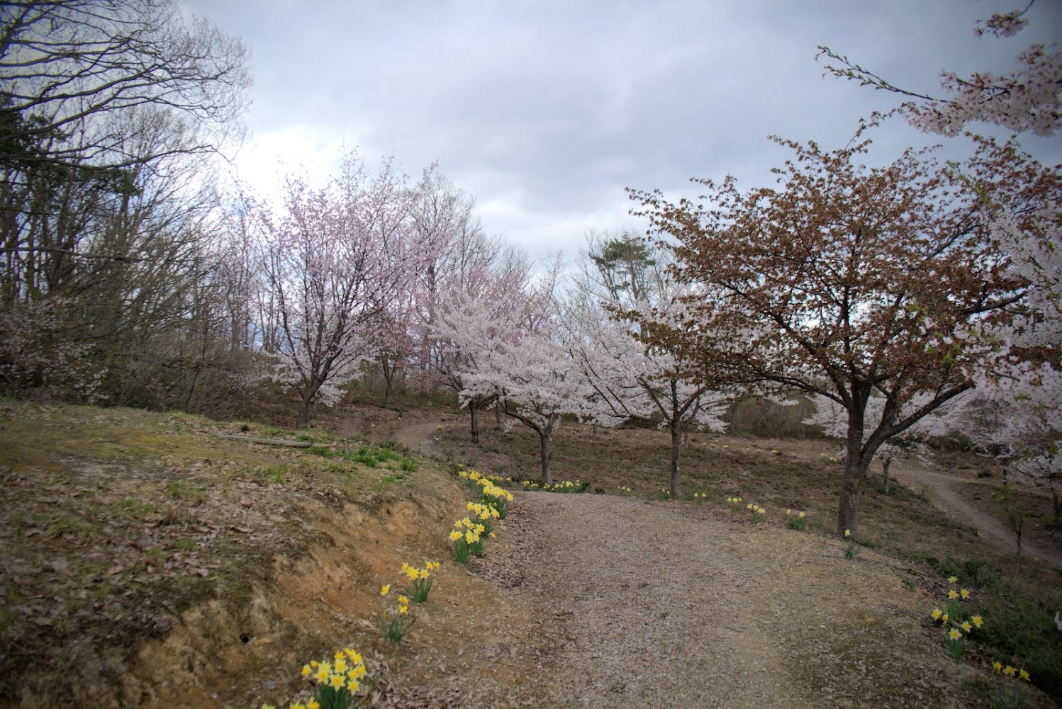
The truth is, Kita-yama scores very high on all three of these points. In the past Kita-yama was known as a place people hung out in with mulberry trees and a ski field. However, these went out of fashion with the passing of time and the ski field closed.
Then in 2004, the local Okubo community got together to clear the 4ha of grass, then plant one whole side with 600 Prunus × yedoensis sakura, and weeping sakura cherry blossom trees.
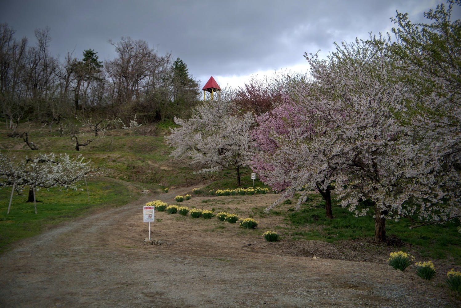
Ever since, Kita-yama has been a very popular destination for locals, having invested a lot into the mountain too. The community has worked hard together to help maintain the mountain by cutting the grass, covering the trees in winter to protect them from heavy snow, and keeping the paths clear. In 2012 the mountain was renamed the Kitayama Sakura Park.
My Guide to Hiking Kita-yama: Climbing Season
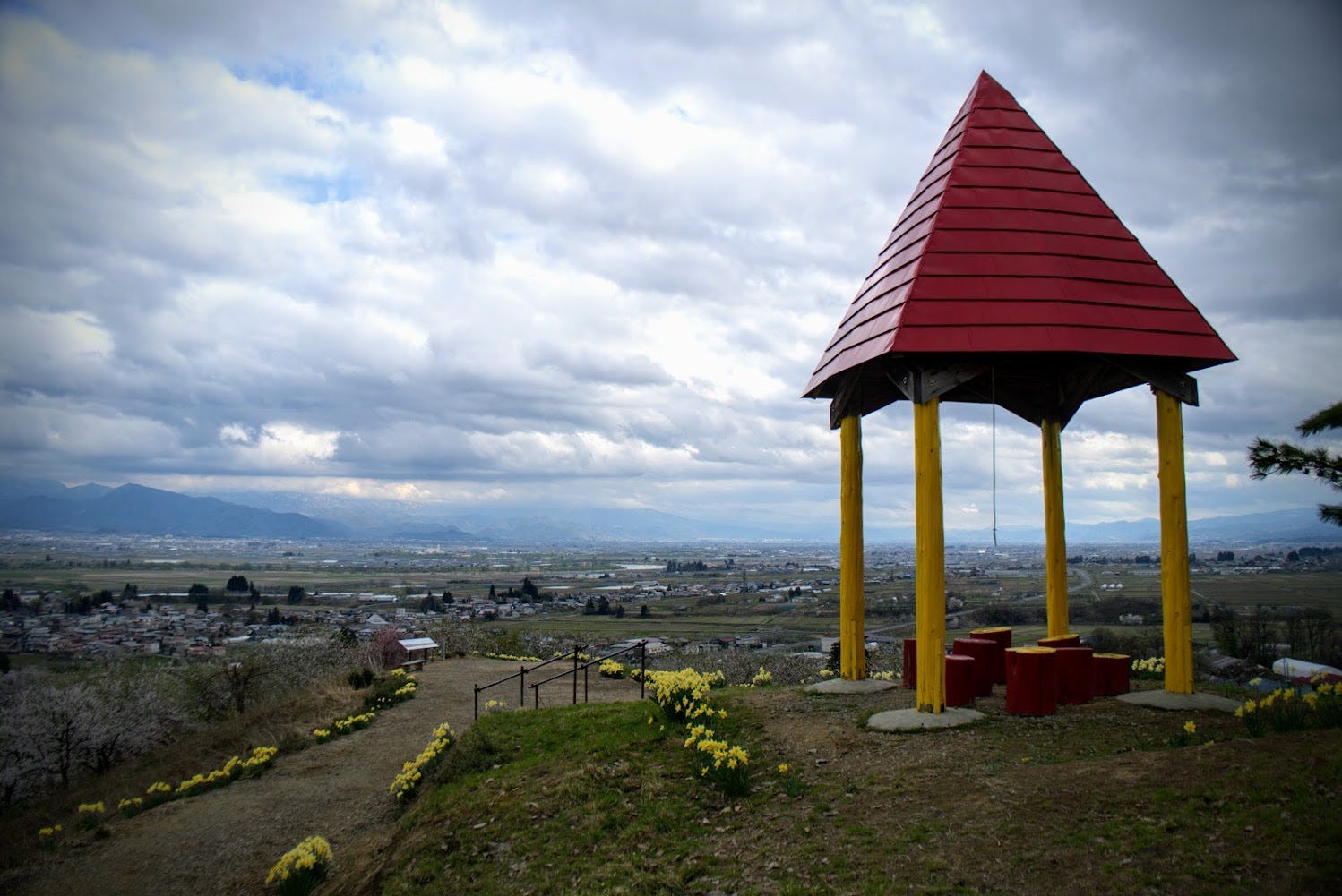
Kita-yama is open year-round, but the panoramic views and gazebo at the summit, complete with ‘bell of happiness’, and the ‘couples’ pines’ are best accessed when there is no snow, any time from April to November.
The Kitayama Sakura Festival is usually held at the end of April. The orange-yellow day lily Nikko Kisuge flowers bloom in June. If you go during Sakura season (mid to late April), you will also be greeted with a line of daffodils to guide your way.
Getting to Kita-yama
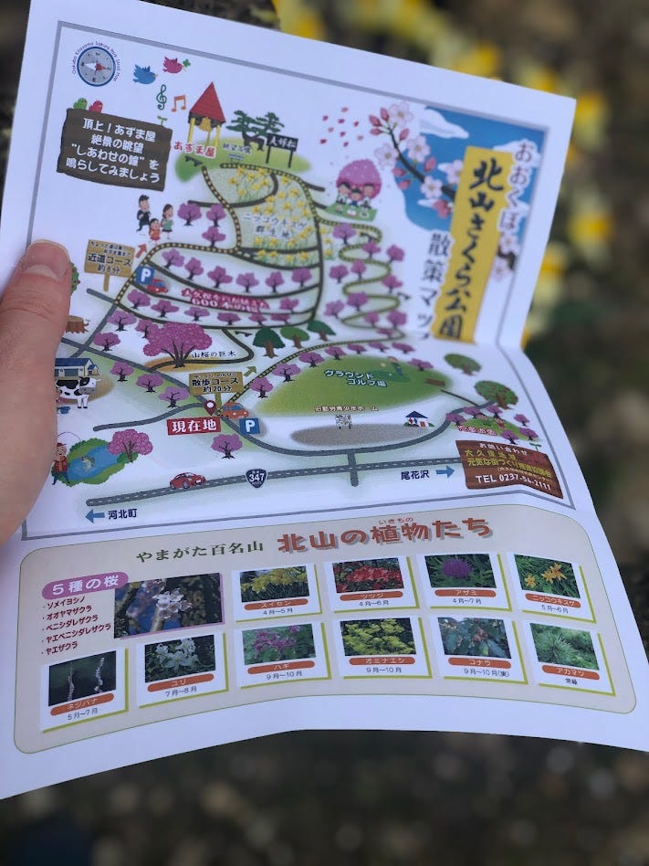
Here is my map to Kita-yama. You'll notice there are two trailheads: the ‘Casual Stroll’ Trail (20min one-way), and the ‘A little bit of effort and you make it to the Gazebo’ trail (8 minutes one-way). Neither of these trails are your typical hiking trail. They a more a guide to enjoying the park, so are a great excuse for a picnic, if you ask me. The 'Casual Stroll' Trail is the more challenging of the two, but isn't that challenging at all. The Gazebo trail basically takes you on a bee-line to the summit.
The ‘Casual Stroll’ Trail (20 minutes one-way)
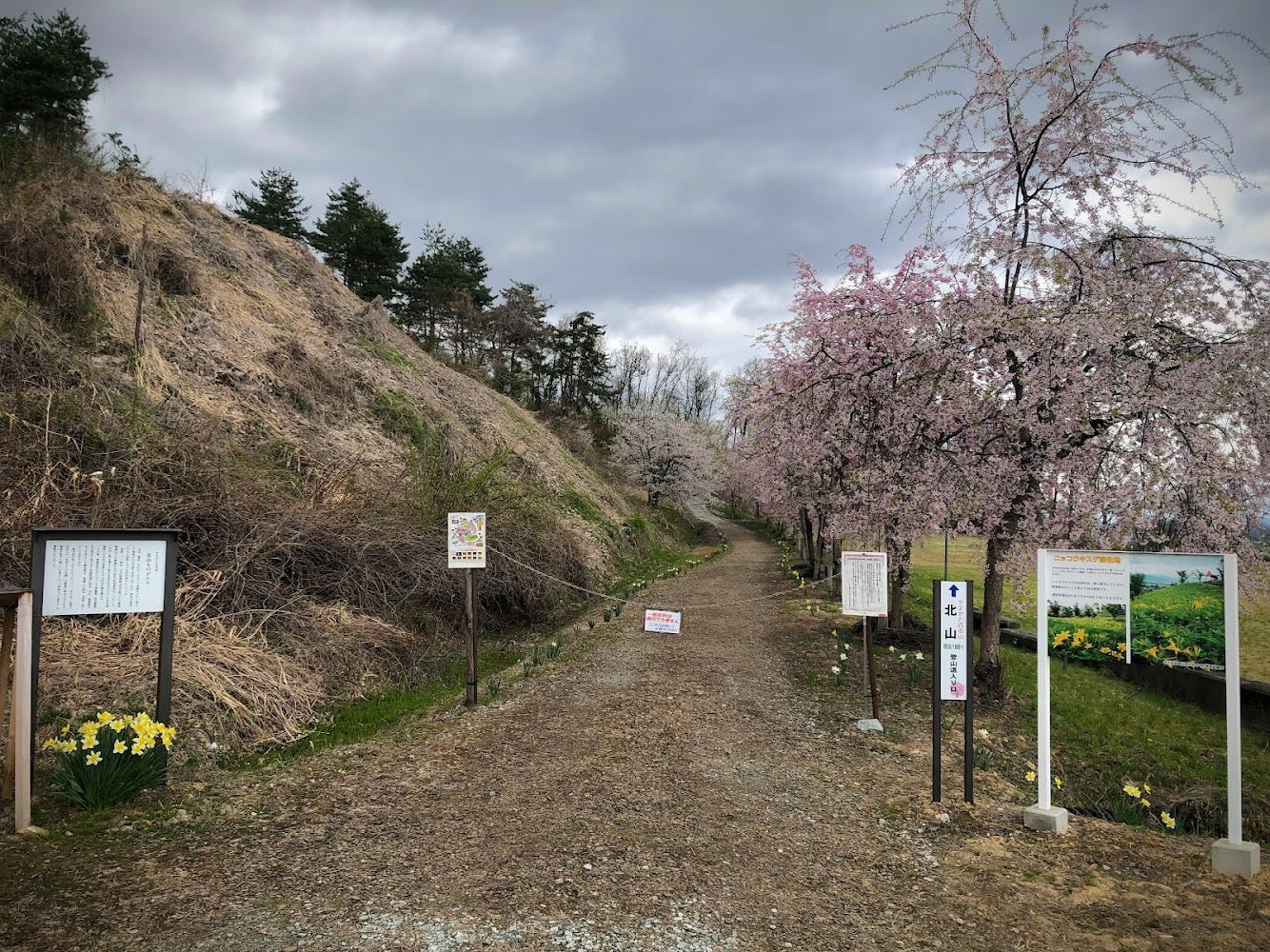
From the Murayama Ha-yama Police Station along Route 347, take a left at the Murayama City Kinro Seishonen Home. Right next to the field there is a car park from where the path starts Casual Stroll Trail starts and weaves through the Sakura. Since there’s basically only one path from here to the summit it’s very easy to follow.
The ‘A little bit of effort and you make it to the Gazebo’ trail (8 minutes one-way)
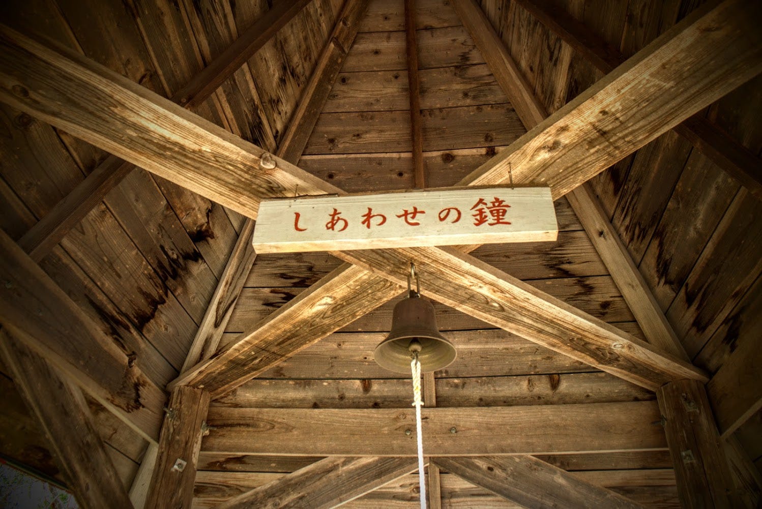
Keep going past the car park for the other trail, and follow the path to the right at the farm. Head 50m up the road and there is some space to park your car. From here you can see the gazebo and its characteristic red roof. The path from here is steep, but not very long at all. If your aim is to reach the summit, take this trail. The views of the surrounding area are really good, not to mention you can bask in the Sakura if you're there at the right time.
Kita-yama: In conclusion
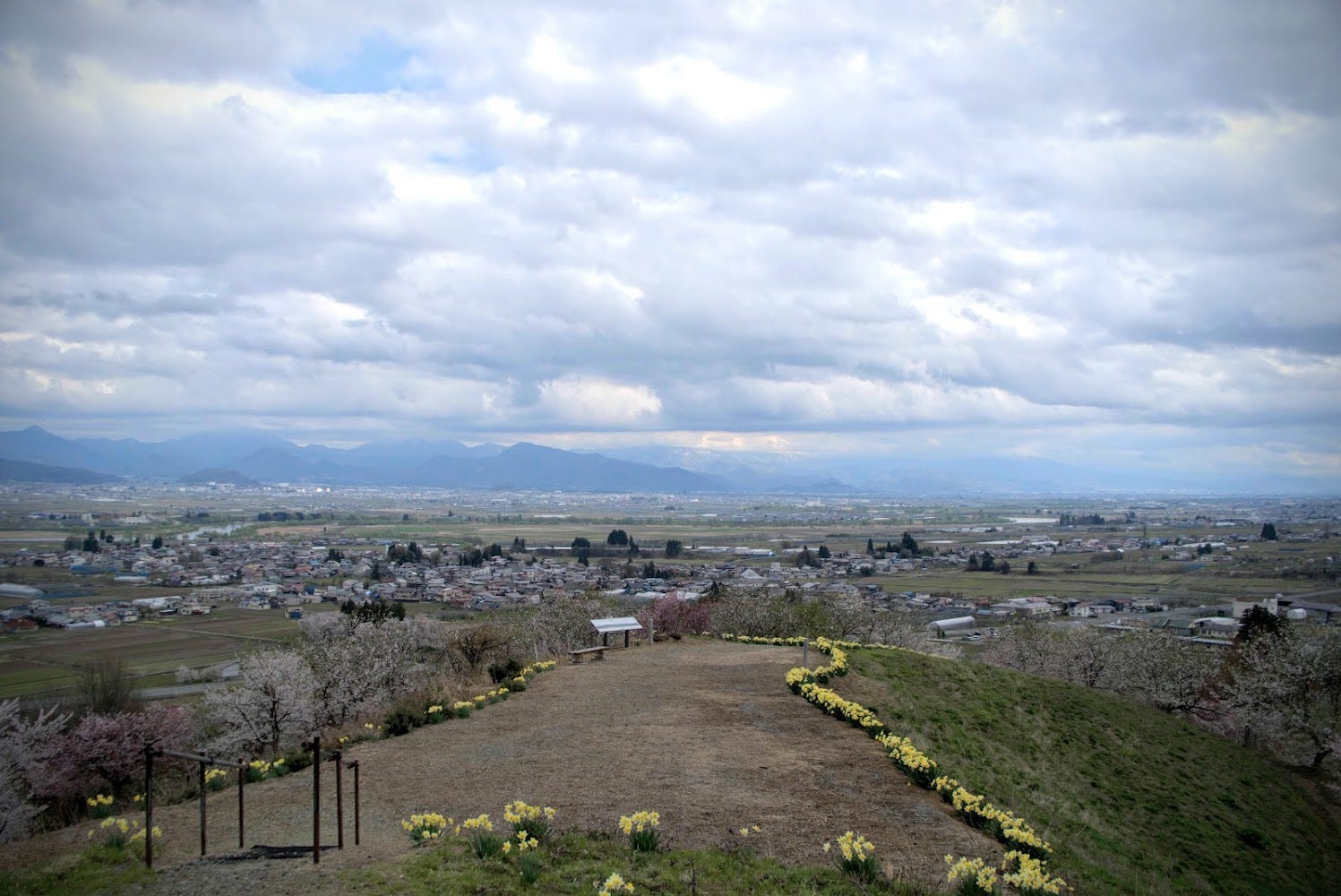
Although I feel a bit like a cheat for only spending about an hour on this tiny peak, Kita-yama truly deserves its place on the list due to the sheer influence it has had on the lives of the locals. If you’re looking for a place to hike, this is not the peak for you. There are plenty of other mountains around. But if you just want a nice time amongst the flowers with a great view, and perhaps a picnic, Kita-yama fits the bill. If you do so, I'd definitely recommend picking up something from Green Wood coffee!
Nearby locations worth checking out
Green Wood Coffee
Green Wood Coffee has great coffee, coffee beans and a huge selection of local crafts and delicacies. Great spot to check out for sure!
Hayashizaki Iai Shrine
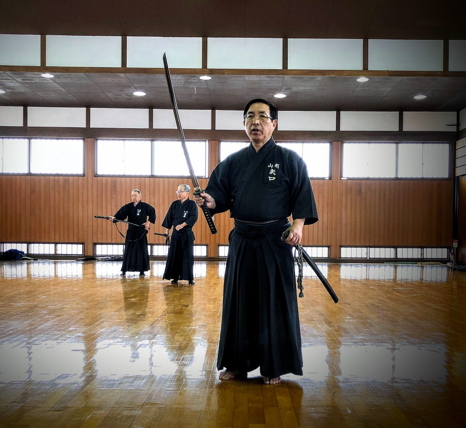
Murayama City is home to the Hayashizaki Iai shrine, where the sword-wielding art of Iaido originated. 居合道| 体験 | 村山市居合道体験
Reservations may be refused due to the status of new coronavirus infection (state of emergency). Please note. No posts…en.iaidoexperience.com
The Former Dewa Sanzan peak and extinct volcano of Murayama Hayama

Murayama Hayama is an extinct volcano in the center of Yamagata Prefecture that was a Dewa Sanzan peak. This means it has an extensive Shugendo and Mountain Worship history. The peak is home to the Buddha Yakushi Nyorai. (村山)葉山
寒河江市、村山市、大蔵村の境に位置する「葉山」は奈良時代から続く修験道の山でした。また、古くから農民の作神の宿る山として山岳崇拝の対象でもあり、人々は季節の折々に山に登り、五穀豊穣を祈ったそうです。江戸時代初期までは羽黒山・月山とともに出羽…yamagatayama.com
Taruishi-yama
Taruishi-yama is a part of Murayama Ha-yama connected to the Taruishi hamlet of Murayama City. 樽石山
樽石山は葉山の一部であり、樽石集落から連なる山です。…yamagatayama.com
References
KITA-YAMA
北山 | きたやま
Mt. Kitayama, Mt. Kita
Kita-yama (北山きたやま) is a 188m (616. ft.) peak in the Murayama region of Yamagata prefecture best climbed from April to November. Kita-yama is a level 1 in terms of physical demand, which means it is easy to hike, has a A technical grade, which means it requires little expertise, and you want to allow at least 15 minutes for a climb.
Mountain Range
Kita-yama
Region
Murayama
Elevation
188m (616. ft.)
Technical Demand
A (requires little expertise)
Physical Demand
1 (easiest)
Trails
Two) 1) The ‘Casual Stroll’ Trail (40min return), and 2) The ‘A little bit of effort and you make it to the Gazebo’ trail (16 minutes return)
Best time to climb
April to June is the best season for the flowers, but the mountain is open until November
Day trip possible?
Yes
Minimum Time Required
16 minutes on foot
PDF Maps by TheHokkaidoCartographer and JapanWilds.org. See all here.
YAMABUSHI NEWSLETTER


