

These days, it seems the majority of the Edo Five Routes are covered in either roads or rails. Although there are still walkable sections of the Nakasendo in its original form, I wondered whether there were any intact trails closer to home.
It turns out the prefecture I live in, Yamagata, had two main roads that were part of the Ushu Kaido; Route 7 and Route 13. Although these are now both roads, there was one section maintaining the former trail as is.
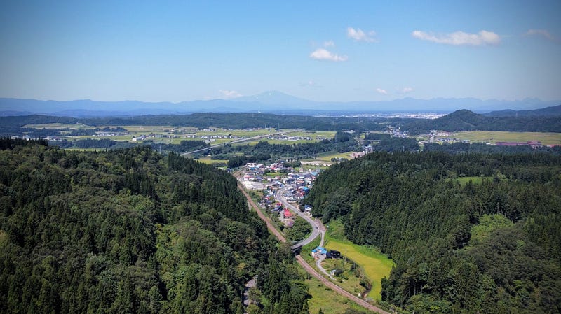
Route 13 is home to a mountain that was historically one of the most difficult passes of the Ushu Kaido, Sabane-yama. Not only that, Sabane-yama also happened to be one of the 100 Famous Mountains of Yamagata.
So, I decided to hike it, as a good yamabushi should.
The Forgotten Highway of Japan: Sabane-yama
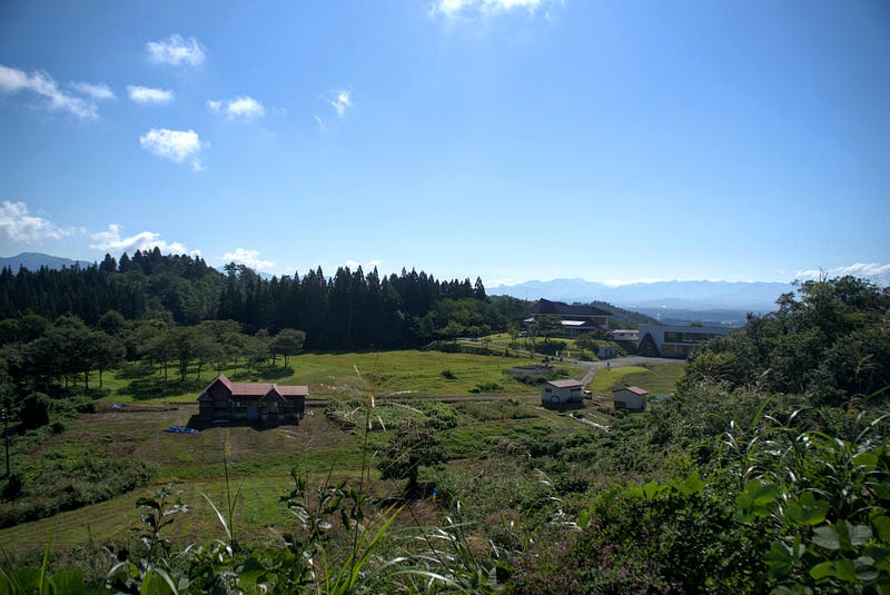
Sabane-yama is not exactly what we would call a tough mountain to climb. In fact, since it is only 160 m (525 ft.) above sea level, we wouldn’t even call it a mountain in English (300 m or 1,000 ft. is the cut-off).
For us, it only takes a matter of seconds to get through Sabane-yama thanks to the invention of cars and the Funagata and Sabaneyama Tunnels.
Yet for the likes of Haiku poet Matsuo Basho, author Isabella Bird, local samurai Kiyokawa Hachiro, and countless Daimyo, Sabane-yama was one of the toughest parts of the journey between Edo and the northern Tohoku region.
Hiking Sabane-yama
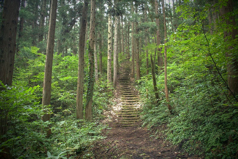
Starting off at Funagata Station, head south through the residential area. Soon you’ll find yourself in a magical cedar forest. This forest guides you all the way up to the top of a ridge.
Keep following the trail through the forest. Eventually you will be led to the Nogyo Taiken Jishu Kan (a facility of agriculture studies). Be sure to take in the remarkable views of the surrounding mountains and valleys on the way.
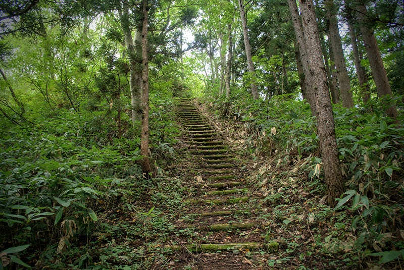
From here, it’s only a short hike to the Rekishi Minzoku Shiryokan (historical folk museum). Nearby, there are some soba restaurants and botanical gardens to check out.
Sabane-yama is part of the Sabane-yama Shizen Koen (Nature Park). As such, the area is well-maintained. There is also a large variety of flora you can stroll among during the warmer months.
Leave with an empty mind, and a full stomach
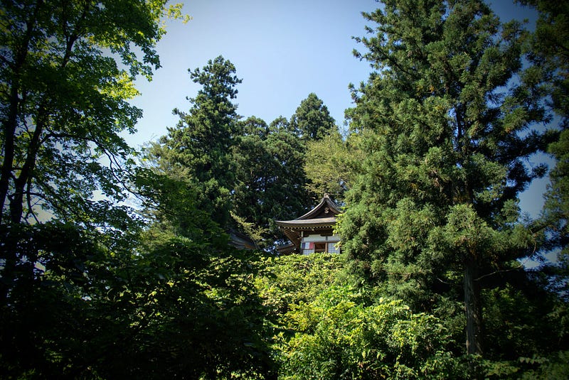
The main highlight of the area, however, has got to be the Zen Temple Jizo-do. This place alone is worth visiting. Not only are the views overlooking the Mogami River, Gassan, and Murayama Hayama a recommended viewpoint from the Yamagata Keikan Monogatari (Yamagata Landscape Story), it is also a Soto Zen-sect temple, making it a great spot for meditation.
Plus, once your mind is full of emptiness, you can fill your stomach too. The monk there runs a soba (buckwheat) noodle restaurant right next door, Sabaneyama Soba. Jizo-do and Sabaneyama Soba are both accessible by car. However, you and I both know that the soba simply tastes better after a hike, right?
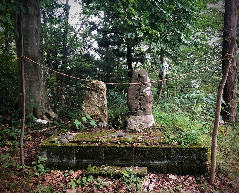
Don’t Forget your Yamabushi Spirit: The summit of Sabane-yama
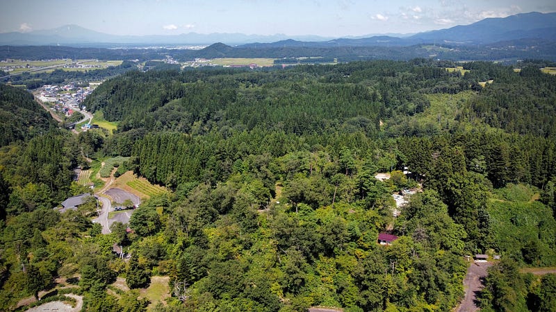
Jizo-do is certainly a destination in and of itself. However, if you want to reach the real summit of Sabane-yama, keep following the narrow forest road. Soon enough, on your left, you will find a bush where the actual summit lies.
Getting there requires a bit of effort, though, as the path is not exactly cleared regularly. In other words, make sure to bring your Yamabushi climbing spirit!
Getting back
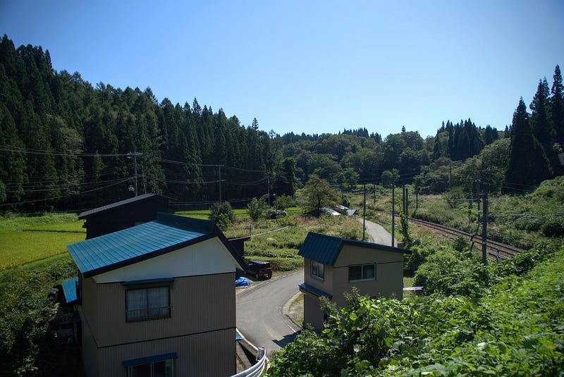
Then it’s just a matter of retracing your steps. Or, you can take the same road where the Rekishi Minzoku Shiryokan is right back to the station. To do so, follow the road down the hill. Take a right at the shrine gates next to the tunnel. Then take a left at the Family Mart. You’ll soon find yourself back in the residential area you started in.
Sabane-yama and the Forgotten Highway of Japan
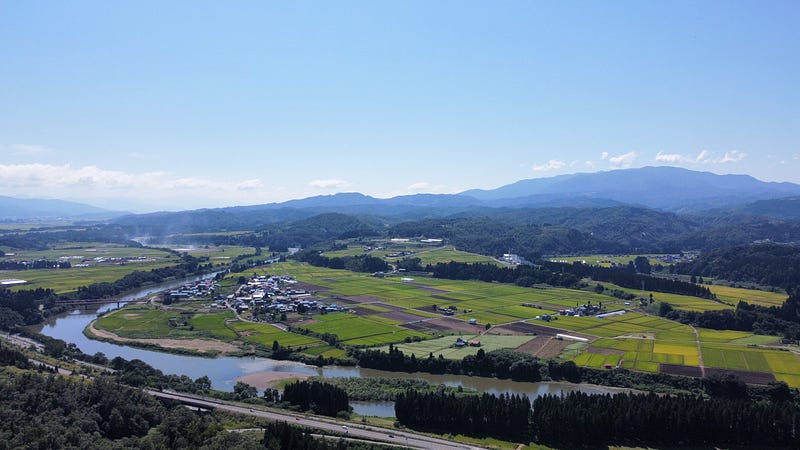
It’s hard to appreciate just how important Sabane-yama was when you’re traveling through it at the speed limit. Sabane-yama’s ancient trails are still relatively intact. There is an outstanding temple at the summit with amazing views to top it off. Plus, that this unsuspecting mountain was a core point along one of the most significant routes in the history of Japan just proves why every once in a while, we should make a point of taking the slow route.
In short: Sabane-yama is famous for:
- Historic trails on the Ushu Kaido, part of The Edo Five Routes, or the forgotten highways of Japan
- Jizo-do, a Zen temple with spectacular views over the Mogami River
- Crossings by many famous people, including Daimyo, Haiku poets, and British authors
- Low-lying mountain whose summit is reachable by car and boasts spectacular views over the Mogami River, Gassan, and Murayama Hayama
Nearby locations worth checking out
Ginzan Onsen
Sabane-yama is only a short 30-minute drive from Ginzan Onsen, one of the most well-known parts of Yamagata Prefecture. Famous for its Ryokan along a river straight out of a Ghibli film, Ginzan Onsen is an excellent location to relax your aches and pains.
Switch-on coffee
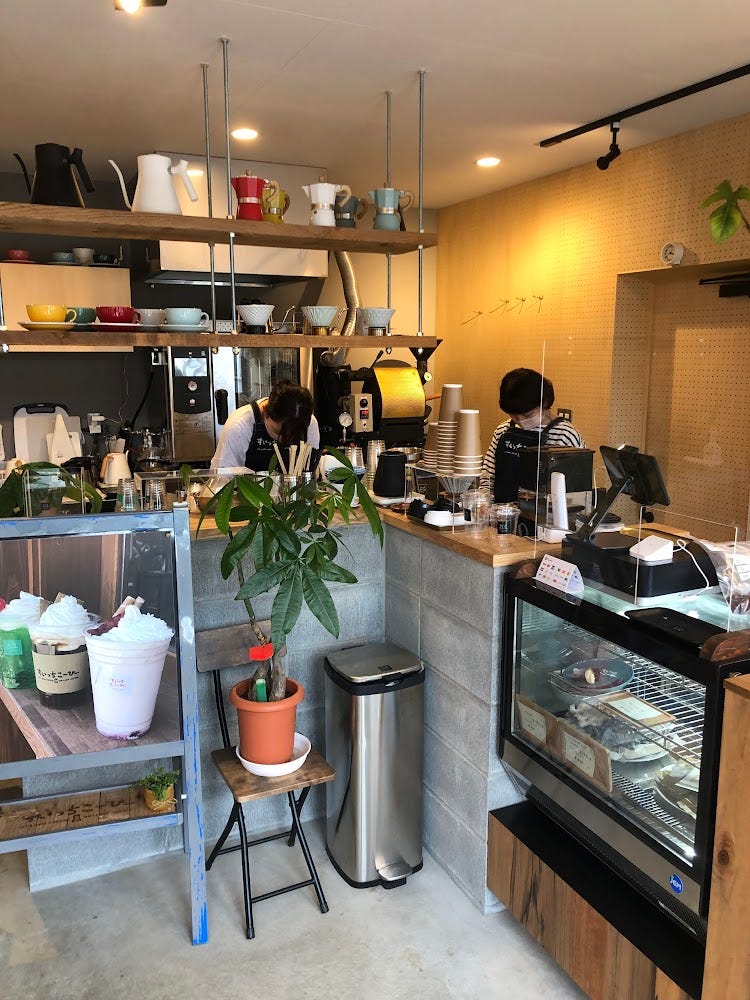
One day, I was passing through Obanazawa on my way home from Sendai. I found this cool little café had only recently opened. They had amazing cheesecakes, and their selection of beans was also rather extensive, something for everyone. The master there really knew his stuff too! A great little spot to visit.
Mogami River
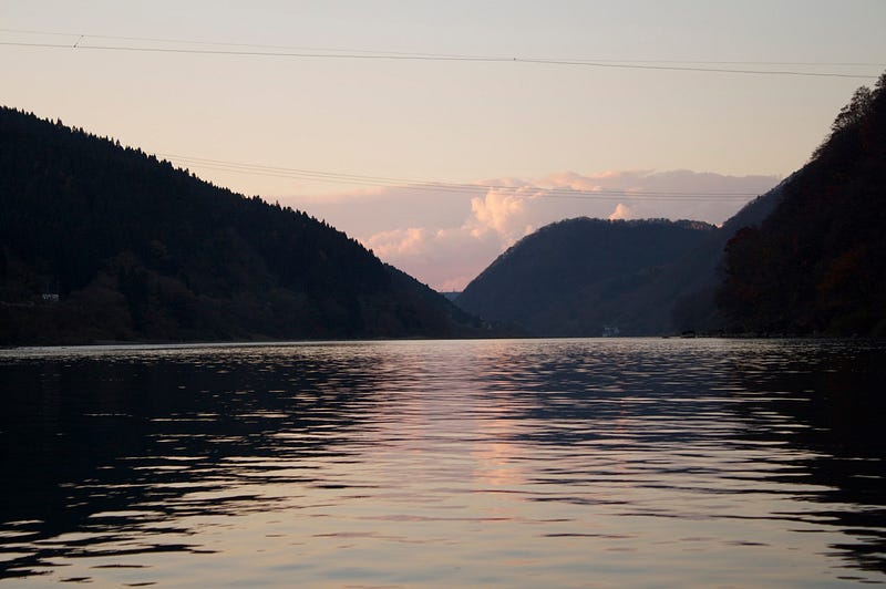
The 229km Mogami River running the length of Yamagata Prefecture is the 7th longest river in Japan. It is also the longest contiguous river in one prefecture. It takes 3 to 5 days for the water to flow from the source to the ocean. Along with the Fuji river in Yamanashi and Shizuoka Prefectures, and the Kuma River in Kumamoto, the Mogami is one of the big three fastest-flowing rivers in Japan.
The Mogami River featured prominently in Matsuo Basho’s The Narrow Road to the Deep North. Matsuo Basho and his trusty partner Kawai Sore stayed three days in Oishida. Once they had good weather, they travelled to the Dewa Sanzan, boarding the Mogami River in the area right in front of Yamuki-yama.
This river voyage inspired the following haiku by Matsuo Basho:
Gathering the rains
Of summer, how swift she runs
Mogami River
Matsuo Basho
The Sakura of Kita-yama

Kita-yama is a converted ski field in the Murayama region of Yamagata prefecture. Kita-yama (北山きたやま) is the perfect spot for a picnic among the Sakura. The mountain offers panoramic views over the rice fields and mountains of inland Yamagata Prefecture.
Okina-san: Venerable Old Man Mountain

Venerable Old Man Mountain Okina-san (翁山おきなさん, Mt. Okina) lies along The Ou Mountains. The landscapes and legends of Okina-san (翁山おきなさん, Mt. Okina) make this 1075 m (3526 ft.) peak not only a 100 Famous Mountain of Yamagata, but also one of the 100 Famous Mountains of Tohoku.
Futatsu-mori
The twin-peaked Futatsu-mori (二ツ森ふたつもり) is a 742 m (2,434 ft.) peak in the Murayama region of Yamagata Prefecture. Futatsu-mori is best climbed from late May to mid-November. The mountain is a level 1 in terms of physical demand, which means it is easy to hike. The mountain has an A technical grade, which means it requires little expertise. Allow at least one hour one-way for a climb up Futatsu-mori.