Kurosawa Akira, Abe Shinzo, The Kami of War, and a flock of geese?
もくぞうやま
杢蔵山
MOKUZO-YAMA
Mountain that marks the entrance to the Kamuro Alps
‘This mountain is loved by locals, takes less than three hours to summit, and has a hut’.
Cool story bro.
Anything else?
All of the mountains of Yamagata have been loved by locals. All of them tell me how long it takes to climb them. All of them have a hut.
Ok, maybe not all of them.
But still, at the very least, all of the mountains of Yamagata explored so far have had some sort of interesting story for me to discover and share with you.
We’re talking more than a few former mountain castles, Shugendo mountains for us yamabushi, mountains of myth and legend with fantastic Yokai,
the list goes on.

But Mokuzo-yama? A mountain at the base of the Kamuro Alps? Home to Hachimori-yama where supernatural Tengu are said to do water ablutions? Not to mention the asymmetric ridges, deep gorges and abundant waterfalls of Komata-yama, Hiuchi-dake AKA Fire-starter mountain, or the namesake Kamuro-san?
Surely there must be something?
Turns out there is.
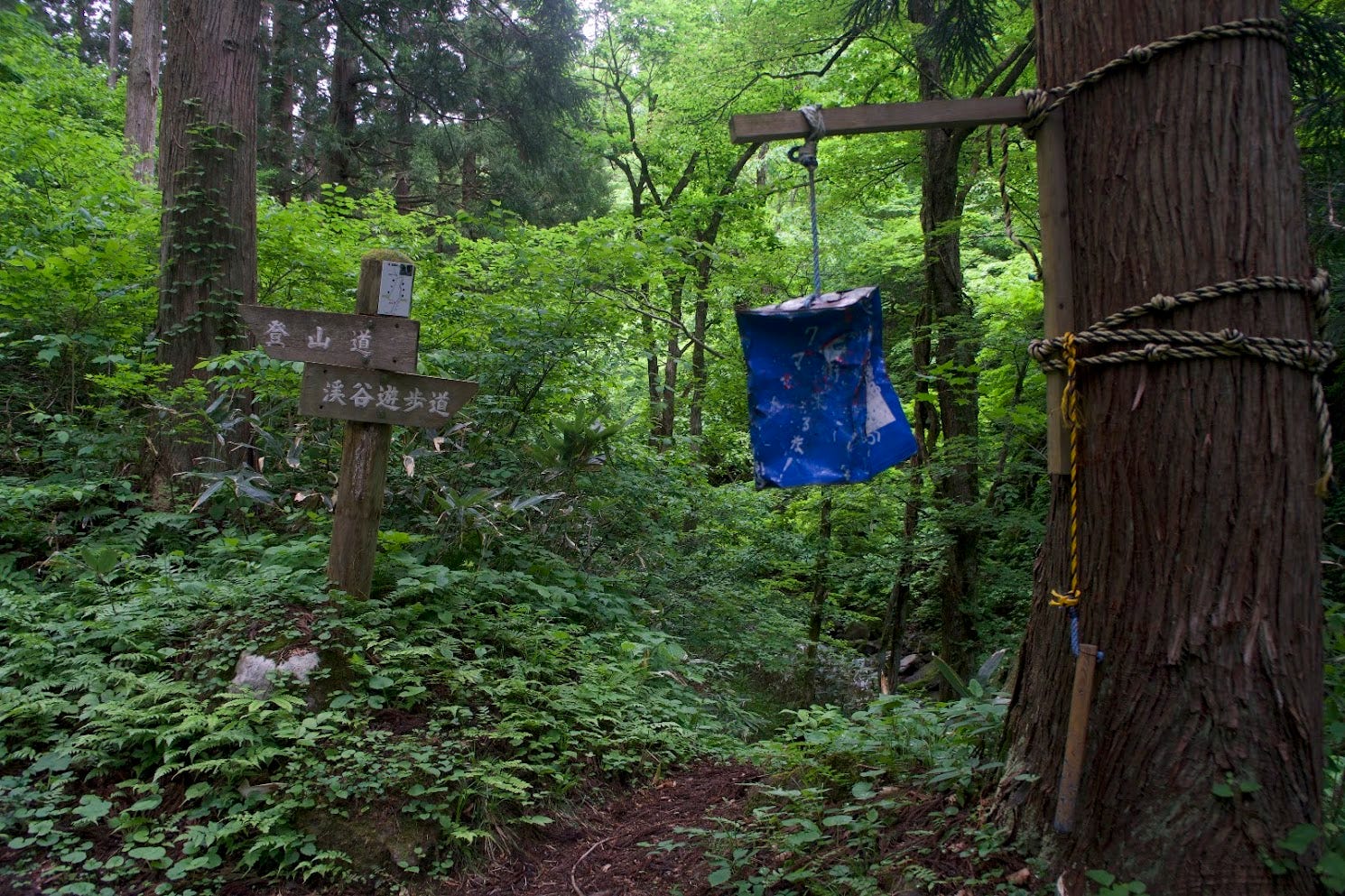
Only, to find out what it is, you first have to venture to the mountain and keep a lookout for a sign in a rice field on the side of the road.
A sign in a rice field on the side of the road!

That’s how we’re going to learn about this place. Not on the TV. No one watches that anymore. And not on the Internet either, that’s too… modern?
Wow. Such helpful.
No. A single sign in a rice field on the side of the road was the only hint something went down here.
But not just anything.
An event involving the ancestors of more than a few of Japan’s former Prime Ministers, its most famous film director, and a samurai with the title ‘Son of Hachiman; the Kami of War’. Oh, and what led to this samurai gaining the title Son of the Kami of War?
Why a flock of geese of course.

You see, from 1051 to 1062 was the Zenkunen no Eki, 前九年の役, known in English as the Former Nine Years’ War. Obviously someone can’t count, that’s more than nine years. However, apparently within a 12-year period there were extensive periods of ceasefire and peace, or something.
Either way,
at that time northern Japan was populated with Emishi tribes (also Ebisu or Ezo). These tribes resisted Imperial Court influence, a bit like Asterix and the Romans. To keep the Emishi forces at bay, a member of The Abe Clan had long held the position of Chinjufu-Shogun, a sort of Commander in Chief. At the time the position belonged to a certain Abe no Yoritoki (notice the surname Abe).
However, the Imperial Court wasn’t very happy with how Abe was running the show. Apparently Abe levied taxes and confiscated property without the permission of the Governor, a big no-no in those times.
Naturally, the Governor was not happy about this. So, he called for support from the Imperial Court in Kyoto. The Imperial Court weren’t having a word of it so they fired the governor, and appointed Minamoto no Yoriyoshi of the Minamoto Clan as both Governor and Chinjufu-Shogun. Not only that, they sent him and his son, the 15-year-old Minamoto no Yoshiie, to stop the rebellious Abe Clan with his own hands.
Both of them.
There were two main battles during the Former Nine Years’ War; The Battle of Kawasaki in 1057, and The Siege of Kuriyagawa in 1062. Abe no Yoritoki was killed before The Battle of Kawasaki, but thankfully his son Abe no Sadato took over fighting with his brother Abe no Muneto, and was able to defeat the Minamoto.
However, the whole war came to an end during The Siege of Kuriyagawa. The Minamoto Clan received backup from The Kiyohara Clan, and attacked the Abe stronghold at Kuriyagawa. They managed to make Abe surrender by diverting the water supply, storming the earthworks and stockade, and setting the place on fire. You would think that would do it, but it took Abe no Sadato two days to surrender. To make matters worse, in early 1063, Minamoto no Yoshiie is said to have brought Abe no Sadato’s head to Kyoto, along with a number of others’.
What does this have to do with Mokuzo-yama?
According to a sign in a rice field on the side of the road, Mokuzo-yama was home to some of the fighting during the Zenkunen no Eki. There are two smaller peaks on Mokuzo-yama separated by a river. Each of these peaks held a fortress during the war, with the Abe Tate (fortress) on the left, and the Minamoto fortress, called the Hachiman Tate, on the right.
I don’t know how anyone can prove this, but apparently a large rock thrown by Yoshiie and kicked back by Sadato is located at the base of the mountain.
Apparently.
What is known for sure though, is that when the highly reputable Shinjo North High School Geography and History Club searched the area they found remnants of earthen walls and flat areas surrounded by stone or earthen walls at the summit. There were also traces of dry moats common in older fortifications.
Although the summit was overgrown with large trees and bushes, making it difficult to clearly identify the ruins, steep slopes on the Abe Tate side suggested that a detailed investigation might reveal more.
But that’s not all.

A sign in the rice field on the side of the road tells of yet another legend.
While Yoshiie was preparing to mount an attack, he noticed wild geese suddenly losing formation in the sky. This told him something was up, and sure enough, when searching the area they found a large army of Abe forces concealed in the bushes. Yoshiie was able to attack first, and gain victory.
This was but the start of Yoshiie’s exploits. Over the years Yoshiie was able to prove himself a master strategist, and he gained the moniker Most Valorous Warrior in the Land (天下第一武勇之士).
But that’s not all.
Yoshiie posthumously gained the title Hachiman Taro, Son of Hachiman. Hachiman is the Shinto Kami of war, and Yoshiie also became the Patron Ancestral Kami of the Minamoto Clan.
But that’s not all.
Abe no Yoritoki is apparently former Prime Minister Abe Shinzo’s ancestor through Muneto, and Kurosawa Akira’s ancestor through Sadato.
But it doesn’t take a sign in a rice field on the side of the road to know that.
Or maybe it does.
‘This mountain is loved by locals, takes less than three hours to summit, and has a hut’.
Cool story bro.
Hiking Mokuzo-yama
Yamaya Trail (2.5 hours one way)
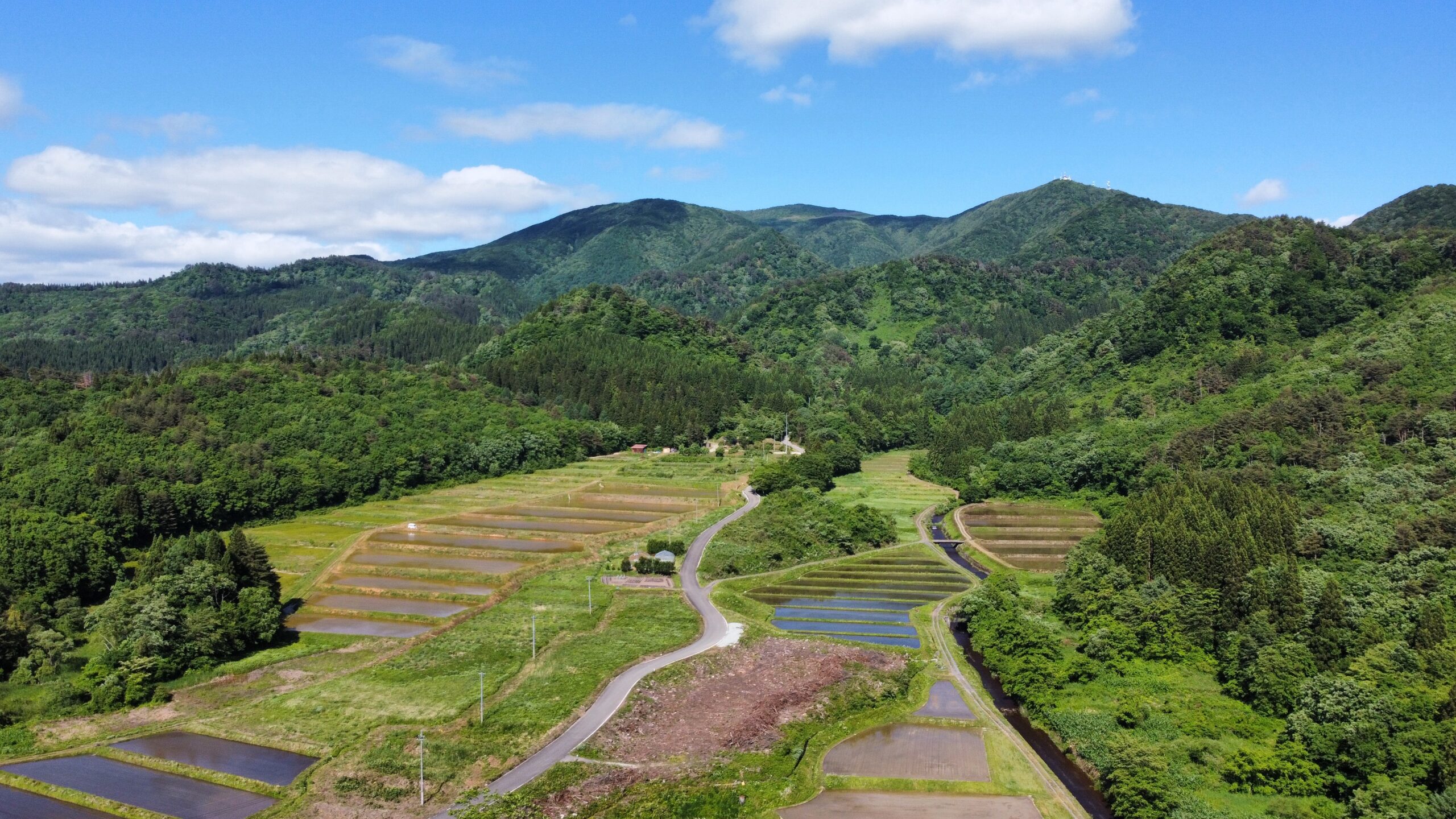
Mokuzo-san is an amazing hike… but only if you don’t use the gravel road between the trailhead and Sankaku-yama like I did on the way back. Just go up and down the main Yamaya trail. I made a huge mistake by doing this, but the hike up to the summit more than made up for it.
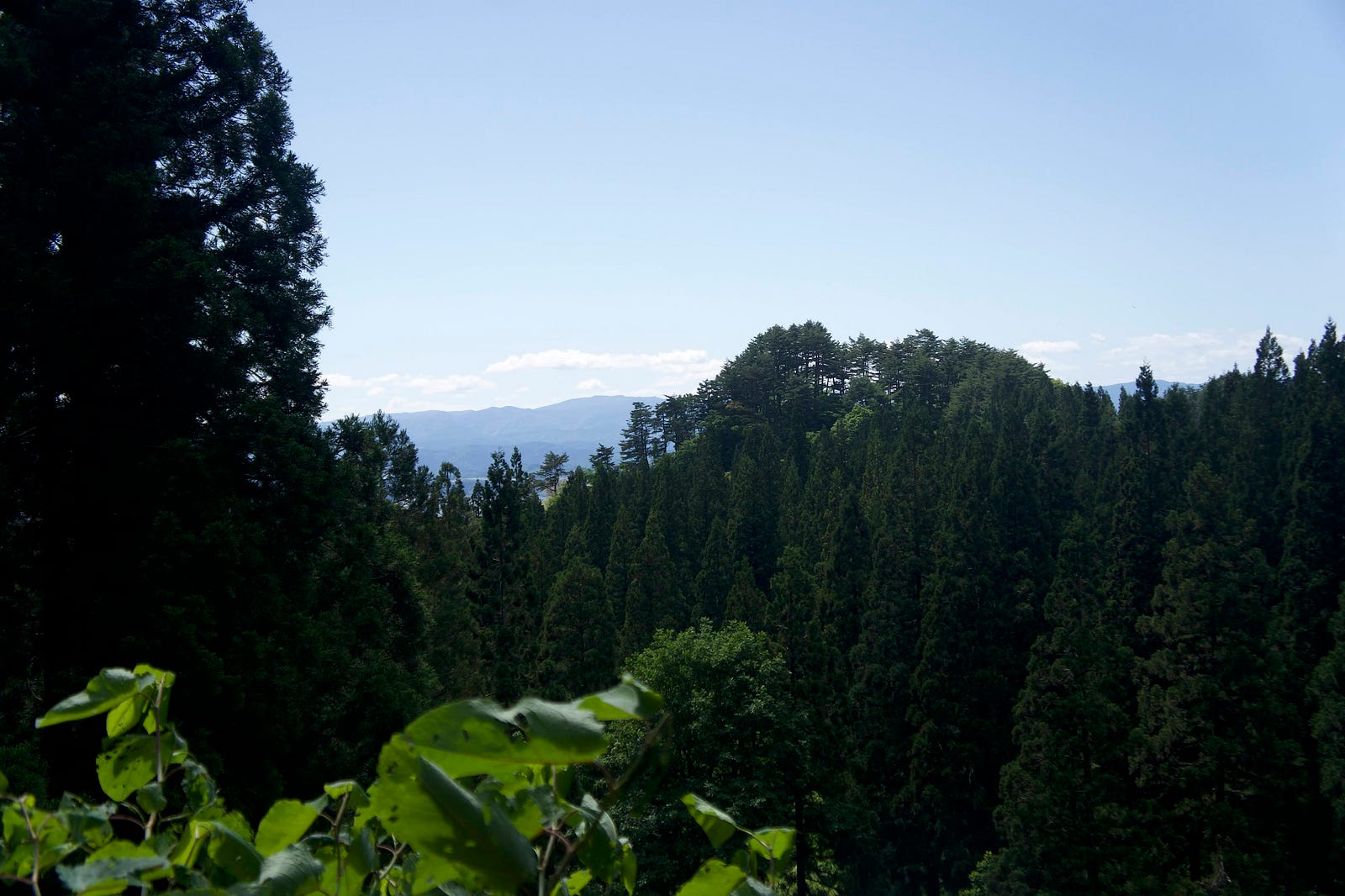
Follow the unpaved road from the former Yamaya camping area, and the trailhead is on the left. The hike starts off in a deep forest following the Tomae river (according to Google) that boasts a few waterfalls too. Once past the forest of planted cedars you will be able to hear the sound of the Ichi-no-taki falls, and there is a path down to it too. I chose to climb down to Ichi-no-taki, it was an interesting detour but may not be necessary.
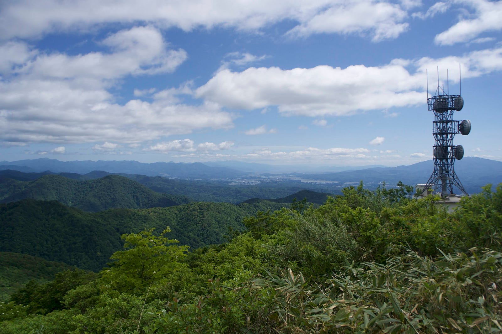
When past San-no-taki falls (there was no Ni-no-taki that I could find), take the path to the right where it splits at the stream. As the stream gets thinner the trail gets steeper. If you look at my average pace, you’ll see that before you get up to the ridge, there is a very steep part for the best part of 30 minutes. It was tough to say the least. But when you reach the top, panoramic views abound.
The Mokuzo-Sanso Lodge
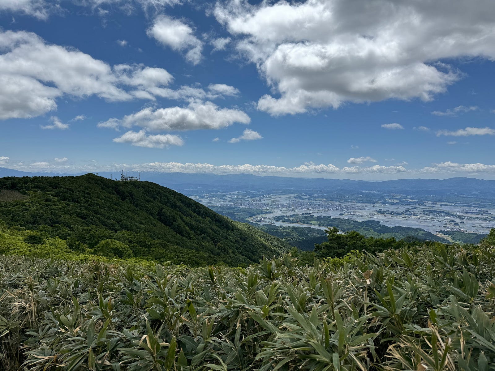
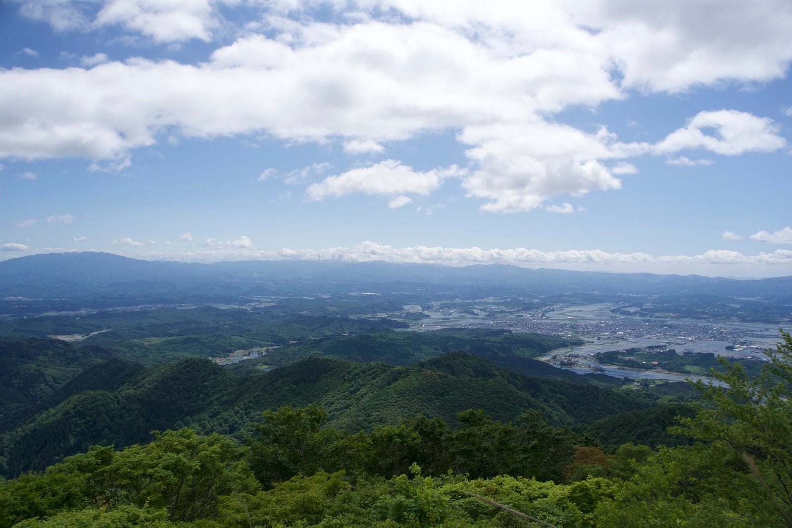
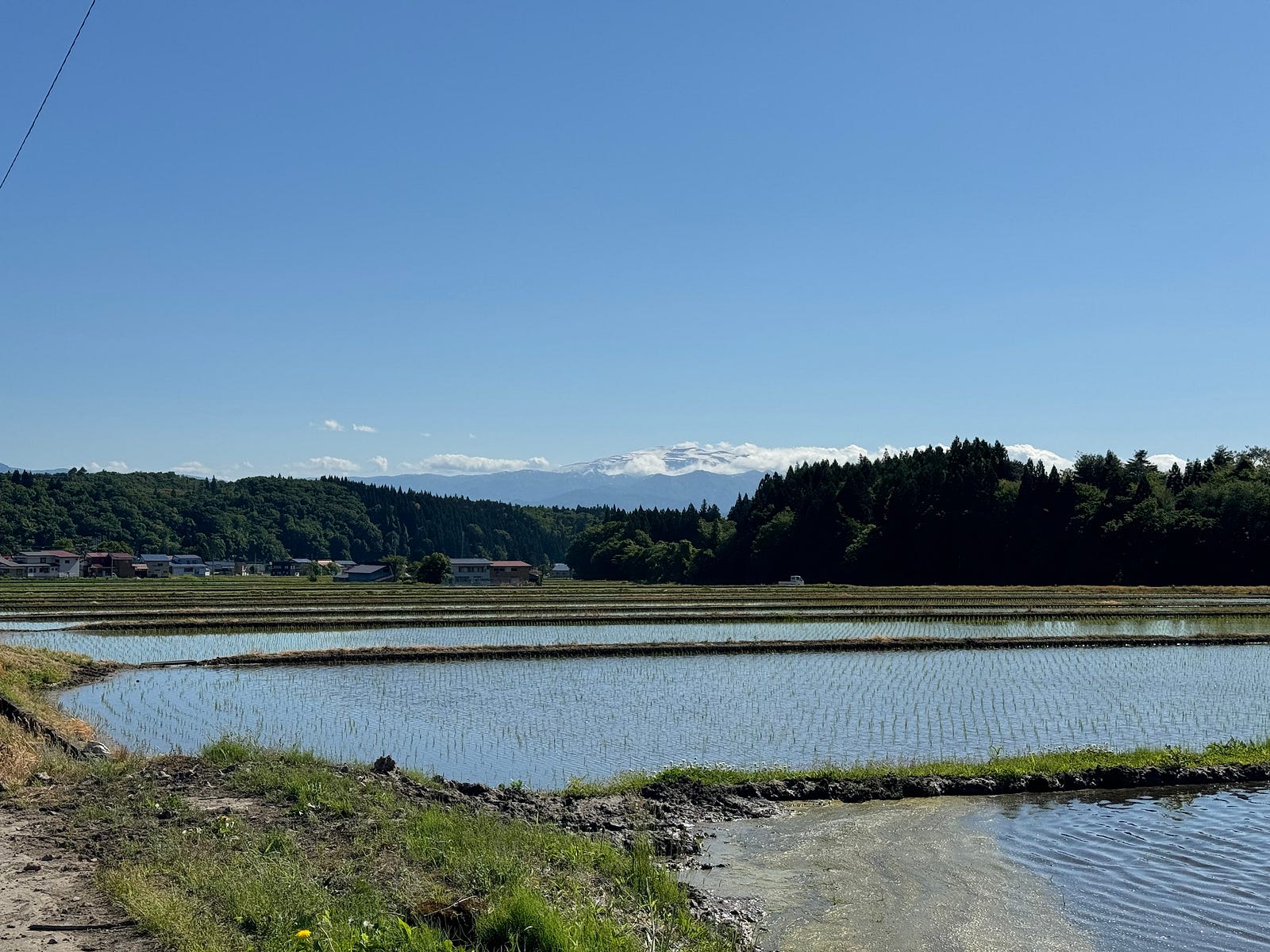
Once out on the ridge, you’ll see the Mokuzo-Sanso lodge. This lodge was built by the Shinjo Shizen ni Shitashimu Kai. Inside there is bedding, a firewood stove, and biomass toilet. Near here there is a bench from where you can see Chokai-san, the rice fields of the Mogami region, Gassan, Murayama-Hayama, and out towards the Murayama region of Yamagata.
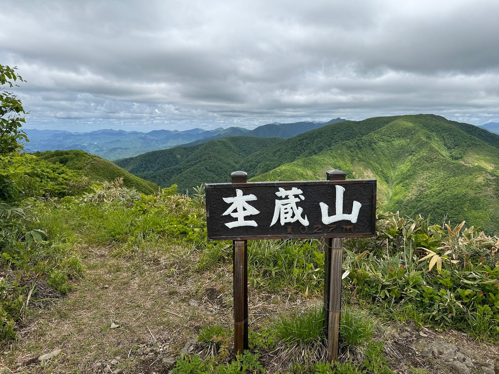
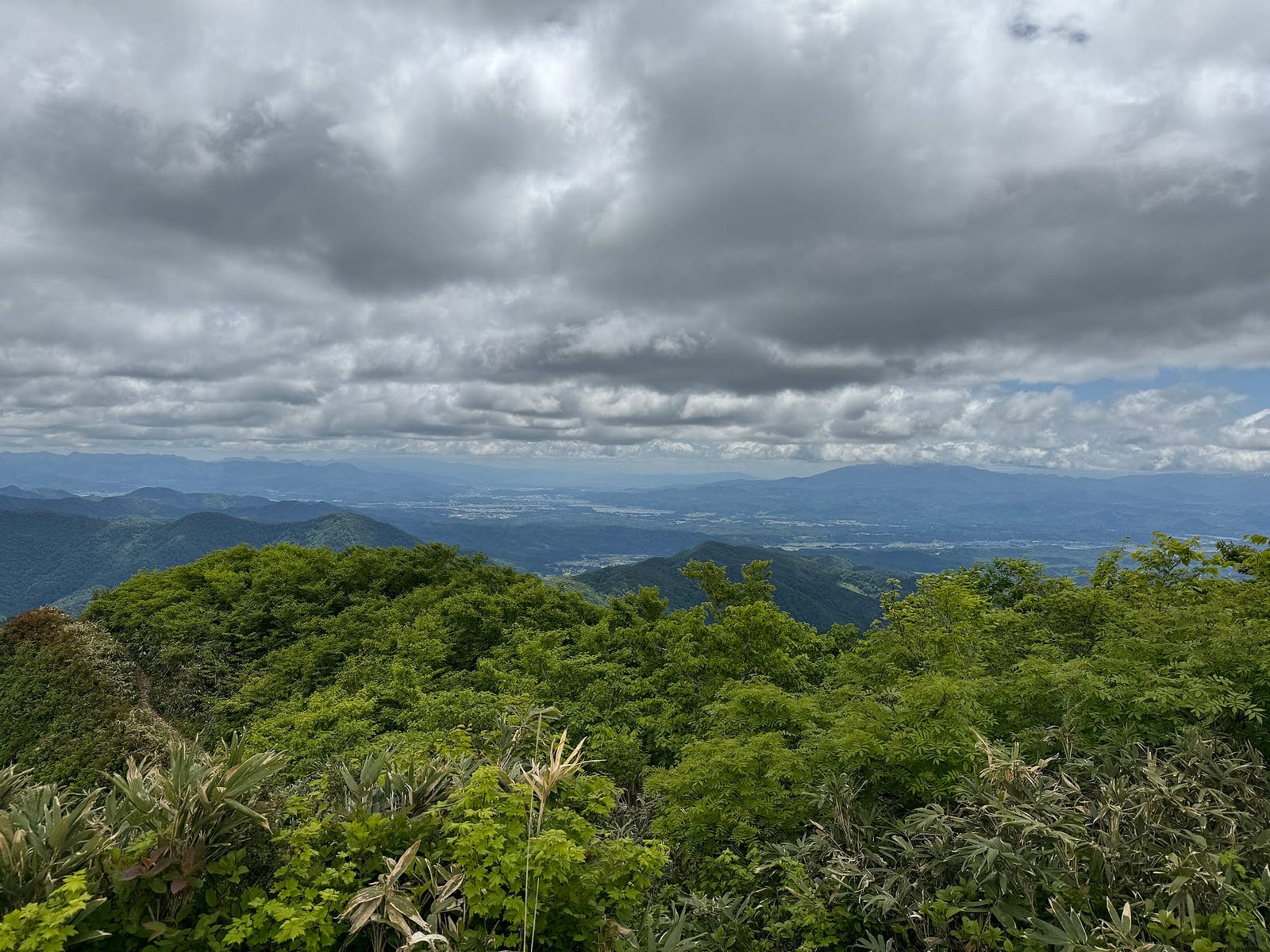
From the mountain hut, head back into the forest and after about five minutes you’ll come across a spot for water. Once through the forest, you will come out on yet another ridge, and the summit is to the left. I was surprised that it turned into a beech forest, but again once you’re through there is one gap from where you get great views, another short forest, and then you reach the main mountain ridge. From there it’s less than five minutes to the true summit. The views from up there are second to none, and you can see out over the Kamuro Renpo and the aforementioned view.
Then it’s a matter of retracing your steps, and if you’re smart, doing that all the way down. I chose to turn off at the hut and went down to Sankaku-yama. I really shouldn’t have though, tabi aren’t suited to gravel roads. As I said though, the rest of the trail more than made up for it.
Nearby Locations Worth Checking Out
The Kamuro Renpo (Kamuro Alps)
From the Kamuro-san page.
Also known as the ‘Michinoku Alps’ (Michinoku is the former collective name of the provinces of Dewa and Mutsu), or the ‘Tohoku Mini Alps’, the Kamuro Renpo isn’t especially tall compared to other mountain ranges, but the sheer amount of snow means there is a large number of alpine vegetation that is rare for such low elevation. There are also some very precious birds of prey that live in the area such as the Golden Eagle (inuwashi) and mountain hawk eagle or Hodgson’s hawk-eagle (kumataka).
The well-maintained paths also make it a popular destination for mountain climbers, and the stretch south from the summit of Kamuro-san to Mokuzo-yama is more than 25km. After Kamuro-san, the mountains heading south in the Kamuro Mountain Range (on the 100 Famous Mountains of Yamagata List) are Komata-yama (1,366), Hiuchi-dake (1,237), Hachimori-yama (1,098m), and Mokuzo-yama (1,026m). Kamewari-yama (594m) is also nearby. All of these mountains (except Kamewari-yama) are part of the Kurikoma Quasi-National Park.
Turtles, Tigers, and a Legendary Japanese Character: Kamewari-yama (Mt. Kamewari)
Kamewari-yama is located on the borders of Shinjo City and Mogami Town. Apparently, the legendary Yoshitsune and his band of followers passed through the Kamewari-toge mountain pass. In the vicinity lie the Benkei no Nagematsu, and the Yoshitsune Benkei Inkstone.
MOKUZO-YAMA
杢蔵山 | もくぞうやま
Mt. Mokuzo, Mokuzoyama
Mokuzo-yama (杢蔵山もくぞうやま) is a 1026m (3366 ft.) peak in the Mogami region of Yamagata prefecture best climbed from mid-May to late October. Mokuzo-yama is a level 2 in terms of physical demand, which means it is relatively easy to hike, has a A technical grade, which means it requires little expertise, and you want to allow at least 5 hours for a climb.
Mountain Range
Kamuro Renpo (Kamuro Alps)
Region
Mogami
Elevation
1026m (3366 ft.)
Technical Demand
A (requires little expertise)
Physical Demand
2 (relatively easy to hike)
Trails
1) Yamaya Trail (2.5 hours one way)
Best time to climb
Mid-May to late October
Day trip possible?
Yes
Minimum Time Required
5 hours
PDF Maps by TheHokkaidoCartographer and JapanWilds.org. See all here.


YAMABUSHI NEWSLETTER
KIWI YAMABUSHI

TIM BUNTING - KIWI YAMABUSHI