Phoenix Head Mountain: TORIKABUTO-YAMA (Mt. Torikabuto)
とりかぶとやま

鳥兜山
TORIKABUTO-YAMA
Torikabuto-yama is a mountain in the shape of a Torikabuto, a mythical bird's head, famous for its alpine lakes and autumn leaves.
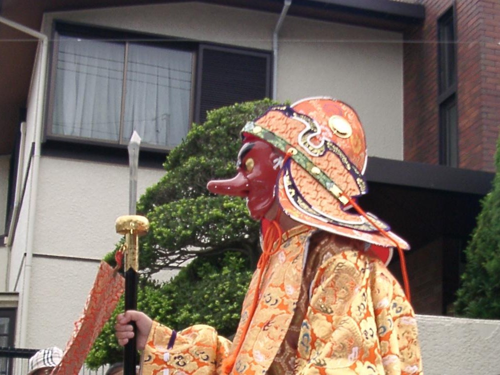
Torikabuto refers to the head of a Fenghuang, a mythological bird like a phoenix said to rule over all birds. As the name suggests, the mountain supposedly resembles one of these Torikabuto.
Torikabuto-yama offers views of Zao Onsen and the Zao Renpo, and on clear days panoramas as far as Gassan, Asahi, Ide-san, and the Azuma Renpo. Enshrined at the lookout at the summit, Zao Daikokuten is a deity with divine blessings such as safety in the home, business success, and safe travels.
Sansaku Isshu (Wander around) Trail (2 hours to 2 hours 40 minutes one-way)
The Sansaku Isshu Trail takes you on a loop from Torikabuto station from the Zao Chuo Ropeway. The trail starts at the Torikabuto lookout (at the statue of Zao Daikokuten). Then you go through a forest past Koyo Toge (the mountain valley of autumn leaves), and the alpine lakes of Katakai-numa, Medama-numa, Utsubo-numa, and Dokko-numa. Cool even in the middle of summer, there aren’t many ups or downs so even beginners or tourists can enjoy this trail.
The Sansaku Isshu trail is especially beautiful during the autumn leaves from late September to mid-October. From the ropeway you get spectacular views, and from Torikabuto-yama’s lookout an unbeatable panorama. This makes an excellent time of year to hike Torikabuto-yama.
Nanamagari Sando Trail (90 minutes one-way)
The Nanamagari Sando Trail starts from the Zao Uenodai slope. There is no ropeway up here, so the trail is recommended for people who feel the need for a climb.
Hike up the ski slope from the south side of Zao Base Centre Jupeer. The trail begins near where the Onsen Dai-san (3rd) pair lift comes out. After hiking about 30 minutes on the ski field, there is a paved path to Dokko-numa pond. Once past Dokko-numa you climb the central slope, and use the walking trail to get to the lookout at the summit of Torikabuto-yama.
TORIKABUTO-YAMA
鳥兜山 | とりかぶとやま
Mt. Torikabuto, Mt. Torikabuto-yama, Mt. Torikabutoyama, Torikabutoyama
Torikabuto-yama (鳥兜山とりかぶとやま) is a 1387m (4550 ft.) peak in the Murayama region of Yamagata prefecture best hiked from June to October. Allow at least 90 minutes one-way for a hike up Torikabuto-yama.
Mountain Range
Zao Renpo
Region
Murayama
Elevation
1387m (4550 ft.)
Technical Demand
Again, you can take the Zao Ropeway to the summit, so there is no rating.
Physical Demand
You can take the Zao Ropeway to the summit, so there is no rating.
Trails
Two: 1) Sansaku Isshu (Wander around) Trail (2 hours to 2 hours 40 minutes one-way), 2) Nanamagari Sando Trail (90 minutes one-way)
Best time to climb
June to October
Day trip possible?
Yes
Minimum Time Required
90 minutes one-way on the Nanamagari Sando Trail
PDF Maps by TheHokkaidoCartographer and JapanWilds.org. See all here.
100 Mountains of Yamagata, Autumn Leaves, Buddhist Temples and Shinto Shrines, Forest Bathing, Full Day Hikes, Half-day hikes, Hard to reach, Hiking Guides, Miyagi, Mountains above 1000m, Murayama Region, Myths and Legends, Onsen Hot Springs, Ou Mountain Range, Volcanoes, Wetlands, Yamagata City, Yamagata City, Zao Renpo


YAMABUSHI NEWSLETTER
KIWI YAMABUSHI

TIM BUNTING - KIWI YAMABUSHI